Rodman Mountains Dirt Road Adventure
This is a dirt road adventure loop trip that leaves Newberry Springs near Bagdad Café and heads south on Troy Road up Kane Wash and connects to Camp Rock Road, which leads west back to I-40 at Daggett, loosely completing the loop. Along the way, a lot of varied desert landscapes and panoramic views will be seen. It will visit another cinder cone named Malpais Crater (also known as Pipkin Cinder Cone), as well as a Native American rock art site known as Surprise Tank Petroglyphs.
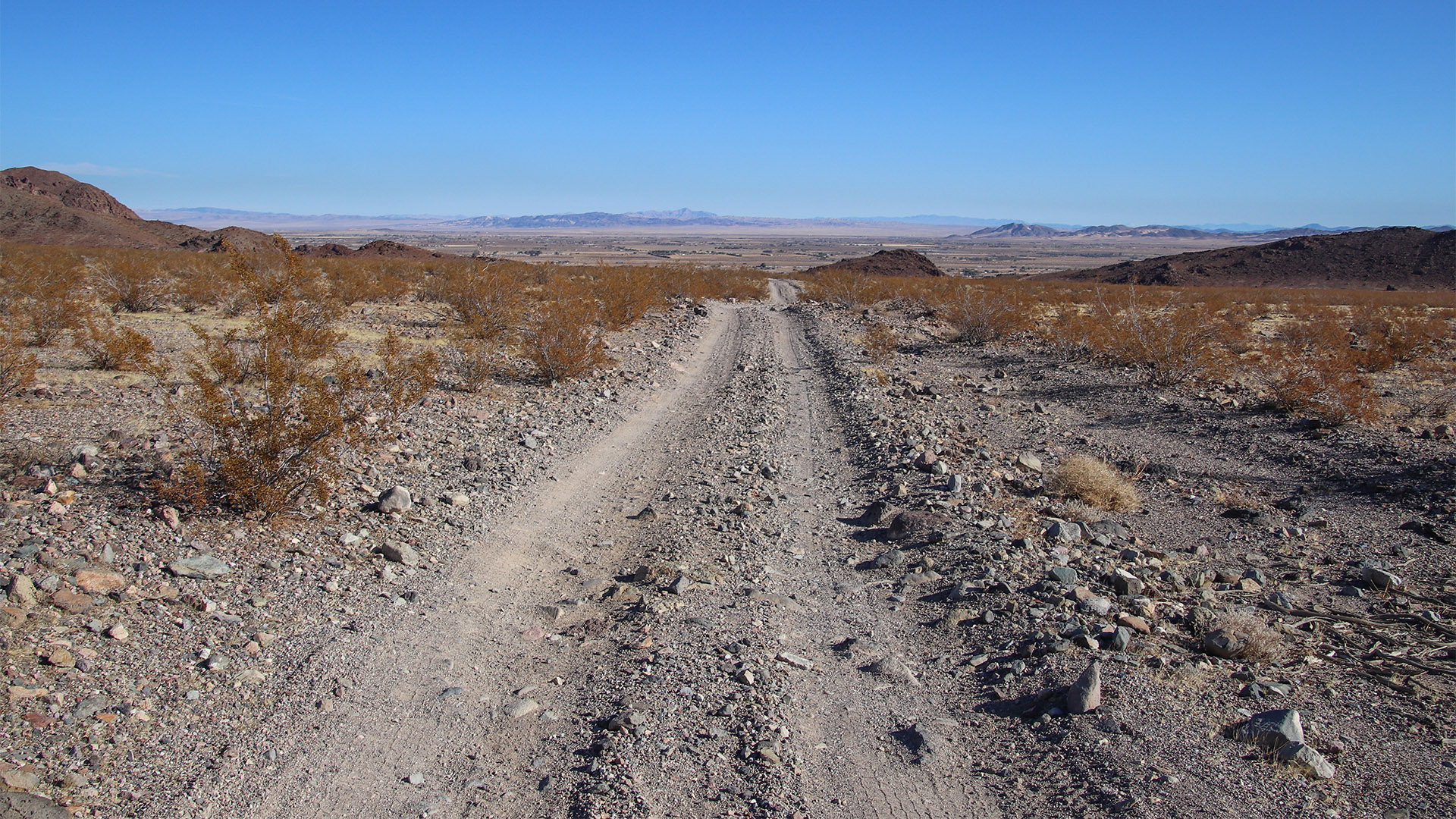
This trip is best suited for a side-by-side or ATV vehicle, but it can also be easily driven with a high-clearance 4WD vehicle. Before leaving the pavement, make sure your vehicle has a full tank of gas and supplies to be out in the remote desert for most of the day.
Taking this trip requires some navigation and map reading skills. It is strongly suggested to use a mobile device app such as Google Maps or Gaia GPS that includes the roads traveled on an automated map that shows your vehicle’s GPS location.
Trip Specs
Length
Attractions
- Desert flora (wildflowers)
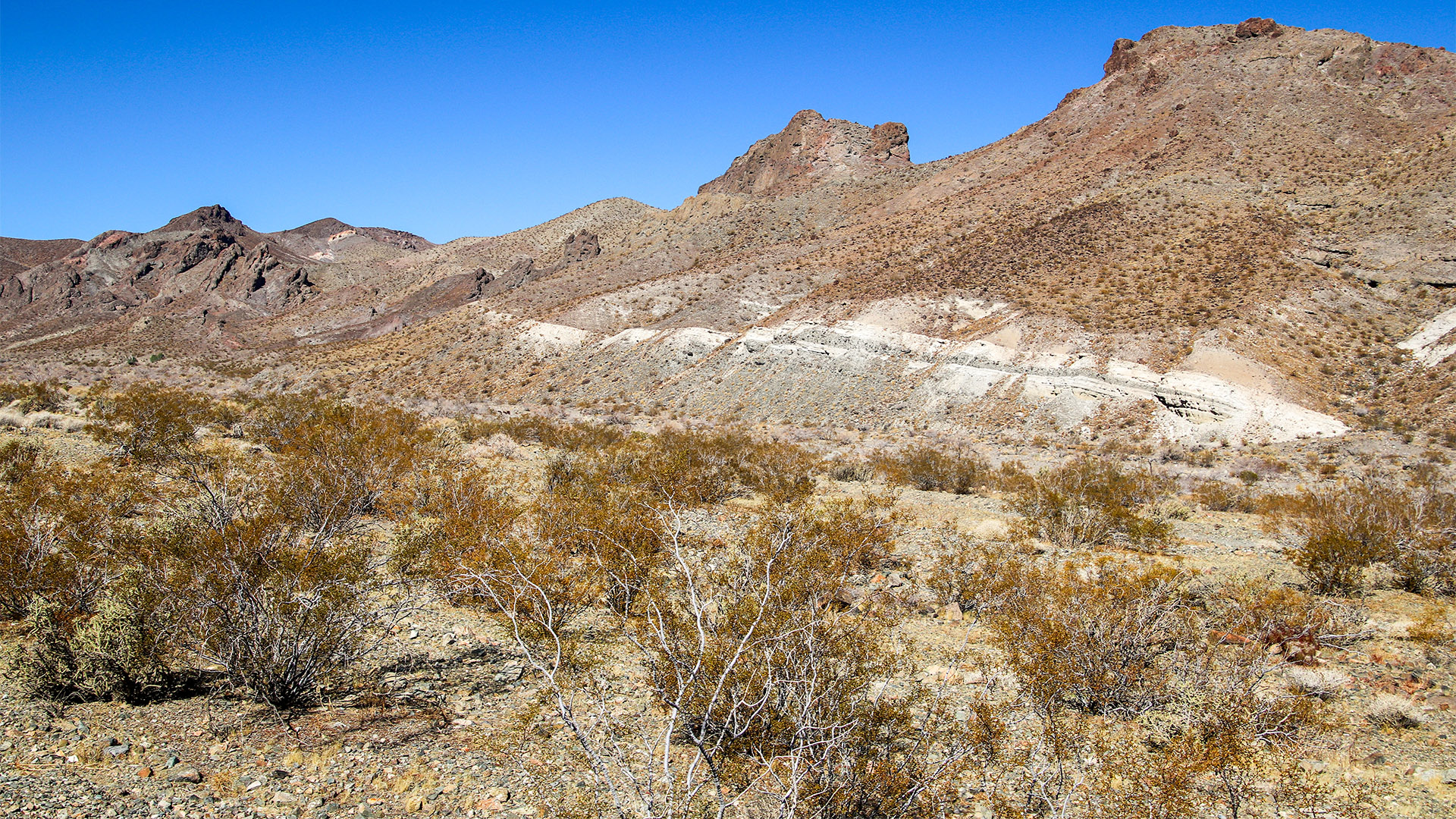
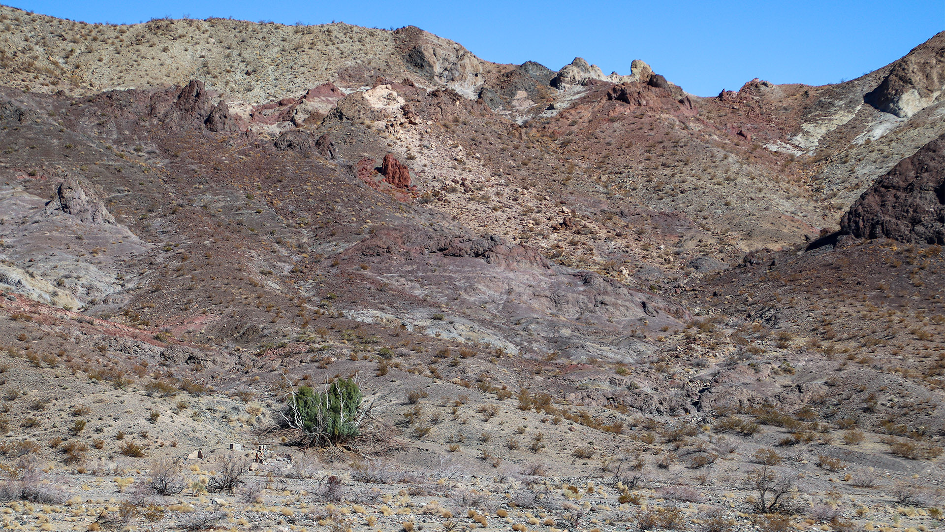
- Varied desert landscapes
- Expansive desert vistas
- Native American Rock Art
- Mining ruins
Difficulty
- Must have 4WD high-clearance
- Road can be rough in areas
- Very remote area
- No phone service
Elevation Gain
Start in Newberry Springs
Although this trip can be driven in either direction, we will explain it starting off Route 66 near Bagdad Café in Newberry Springs. From Route 66, look for Troy Road (it may be labeled Poniente Drive on some maps), which is paved and just west of Bagdad Café. Turn south onto Troy Road (away from I-40).
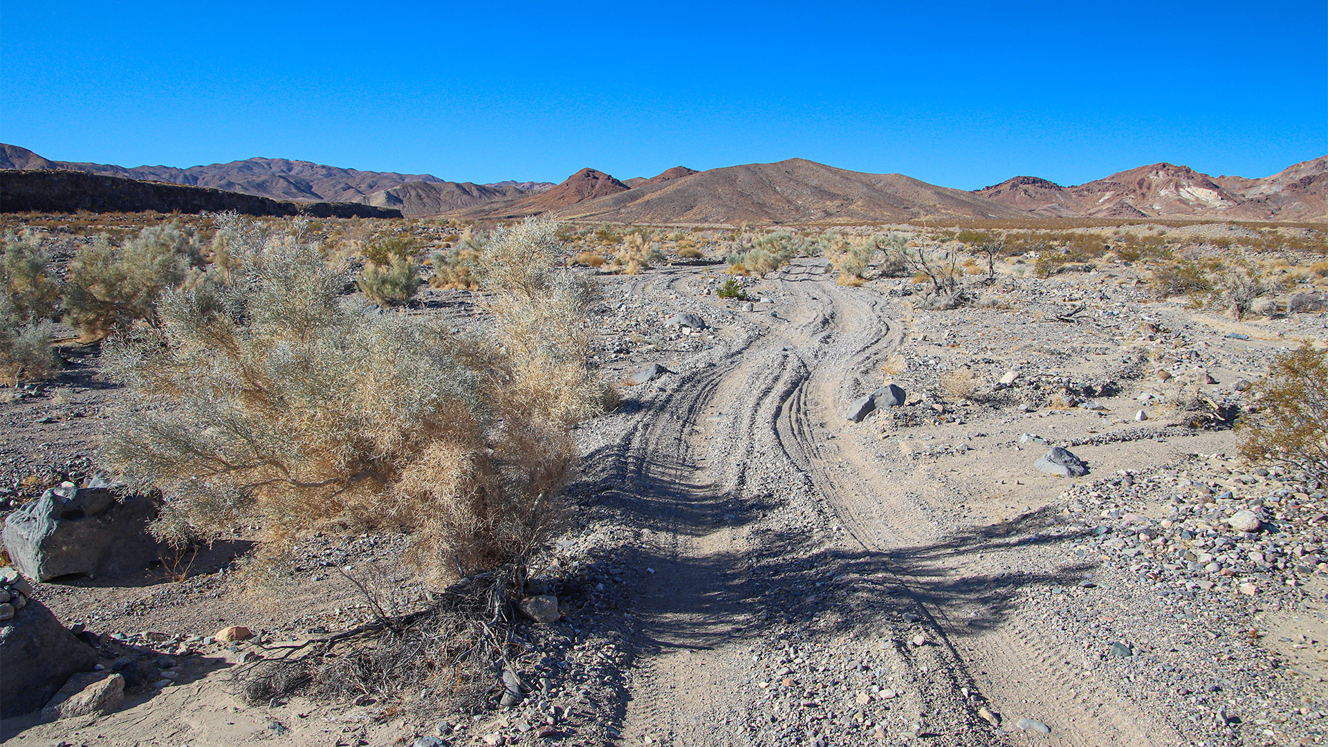
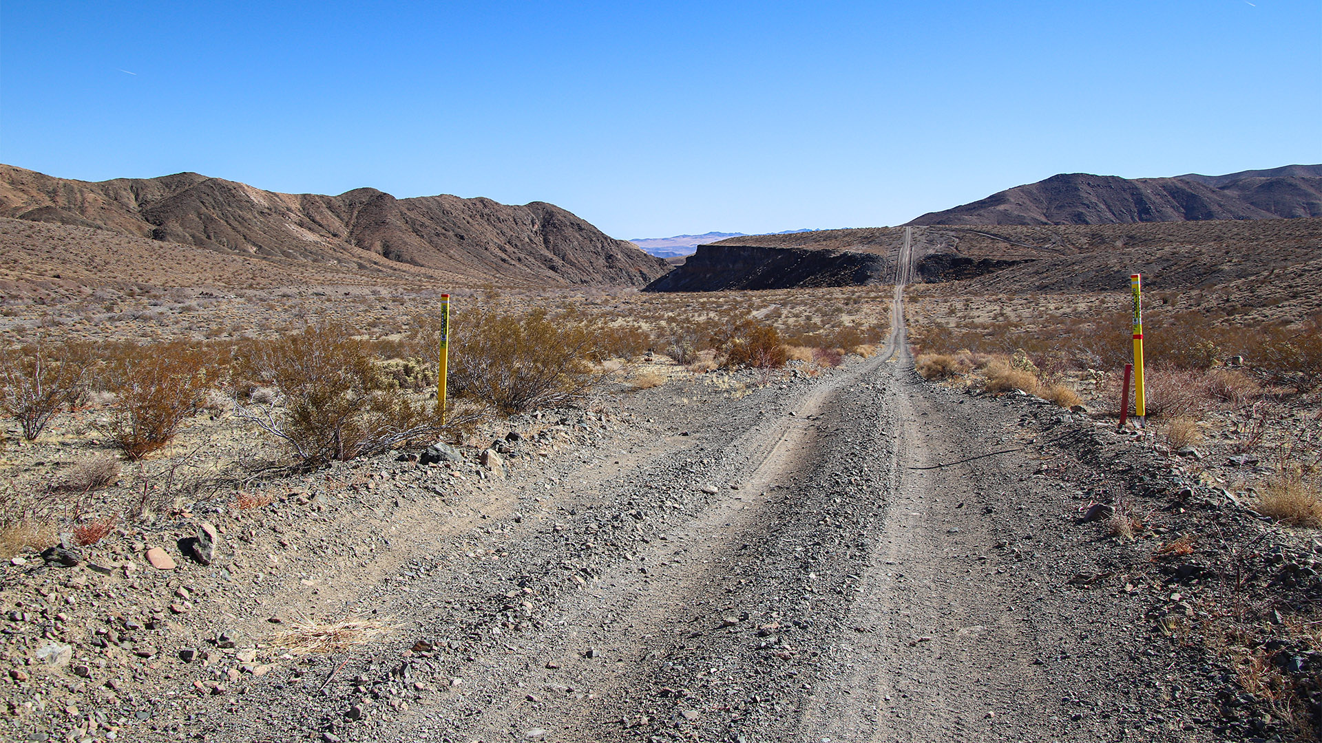
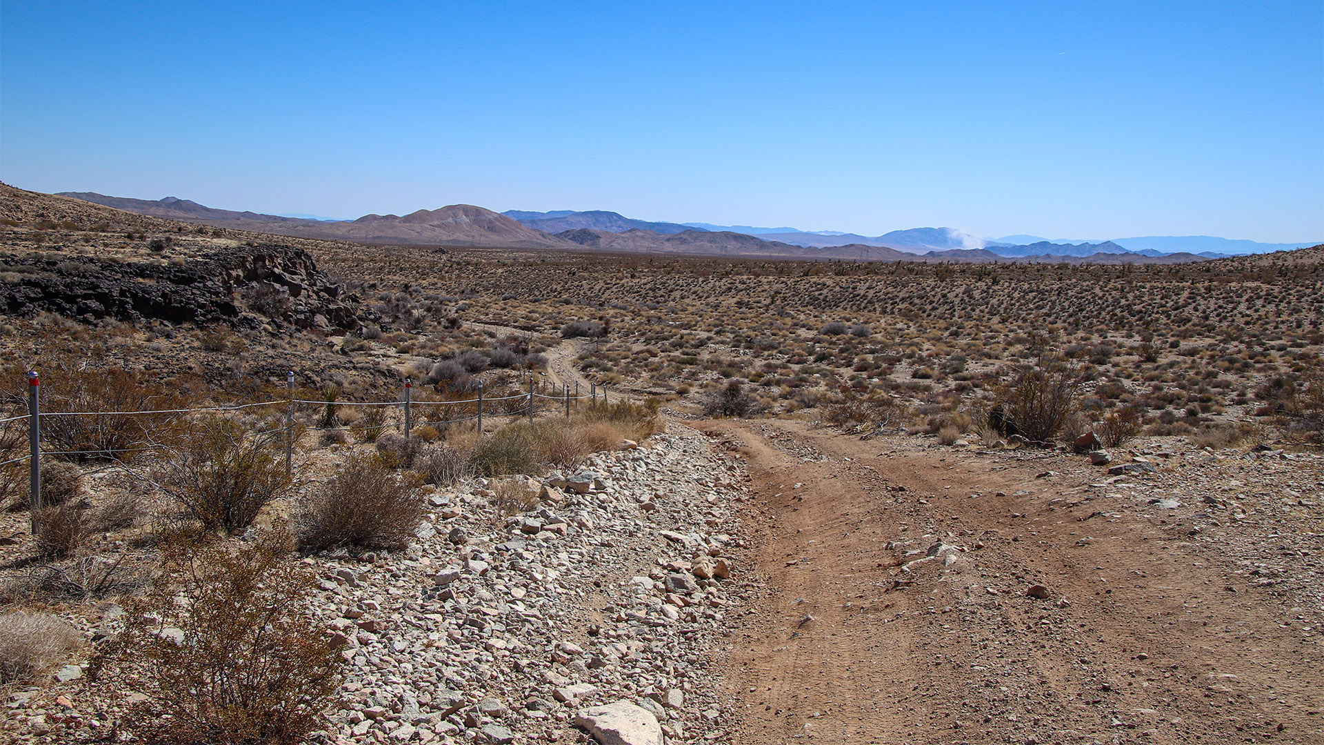
After about one mile, the road will turn to dirt. Immediately, the road will be in a drainage and may be rough. Follow the obvious trail and tire tracks through the vegetation typical of a desert wash. From mid-March until late May, depending on how wet the winter was, an abundance of wildflowers can be found in the wash. The potential for wildflowers along this portion of the route will continue for about 5 miles simply because it is in the large drainage of Kane Wash.
An alternative route can be taken from Fort Cady Road that has an off-ramp on I-40. Drive it south from Route 66 for 2.8 miles, then turn right (west) onto a very straight and well-maintained road. This is a service road for a major gas line and, although it is private, the public is allowed to drive it. This road is not maintained by the BLM or the County. This route will also bypass the wash and will miss out on any potential wildflowers.
Basalt (Lava) Flow
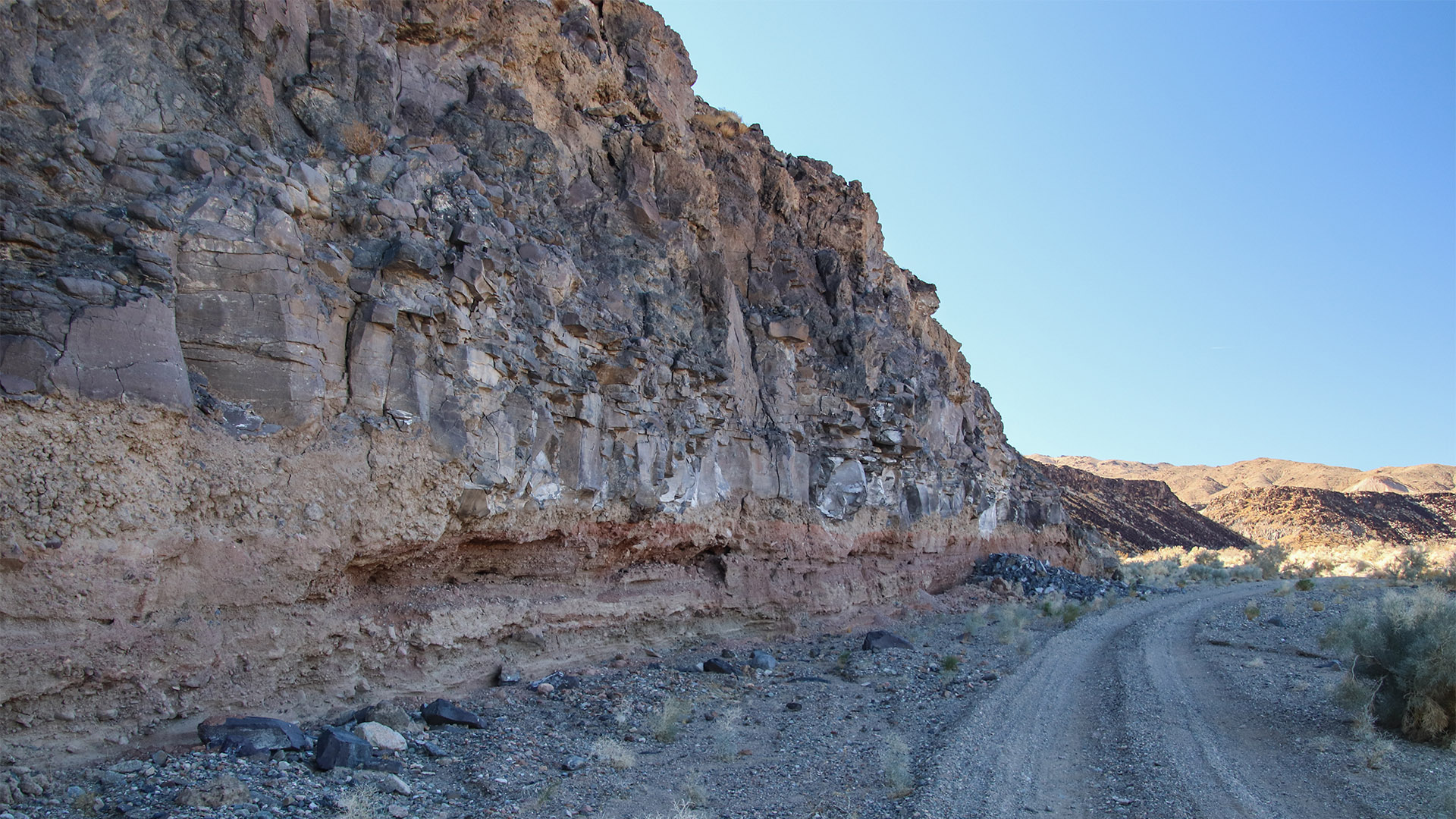
Continuing the route in the wash for about 3.5 miles, a large basalt (dried lava) flow will be encountered on the left. This flow most likely came from Malpais Crater, which we’ll visit later in this trip. The vertical sides of the flow are rather high in some places and it’s amazing to wonder what it was like when the molten magma was flowing here thousands of years ago.
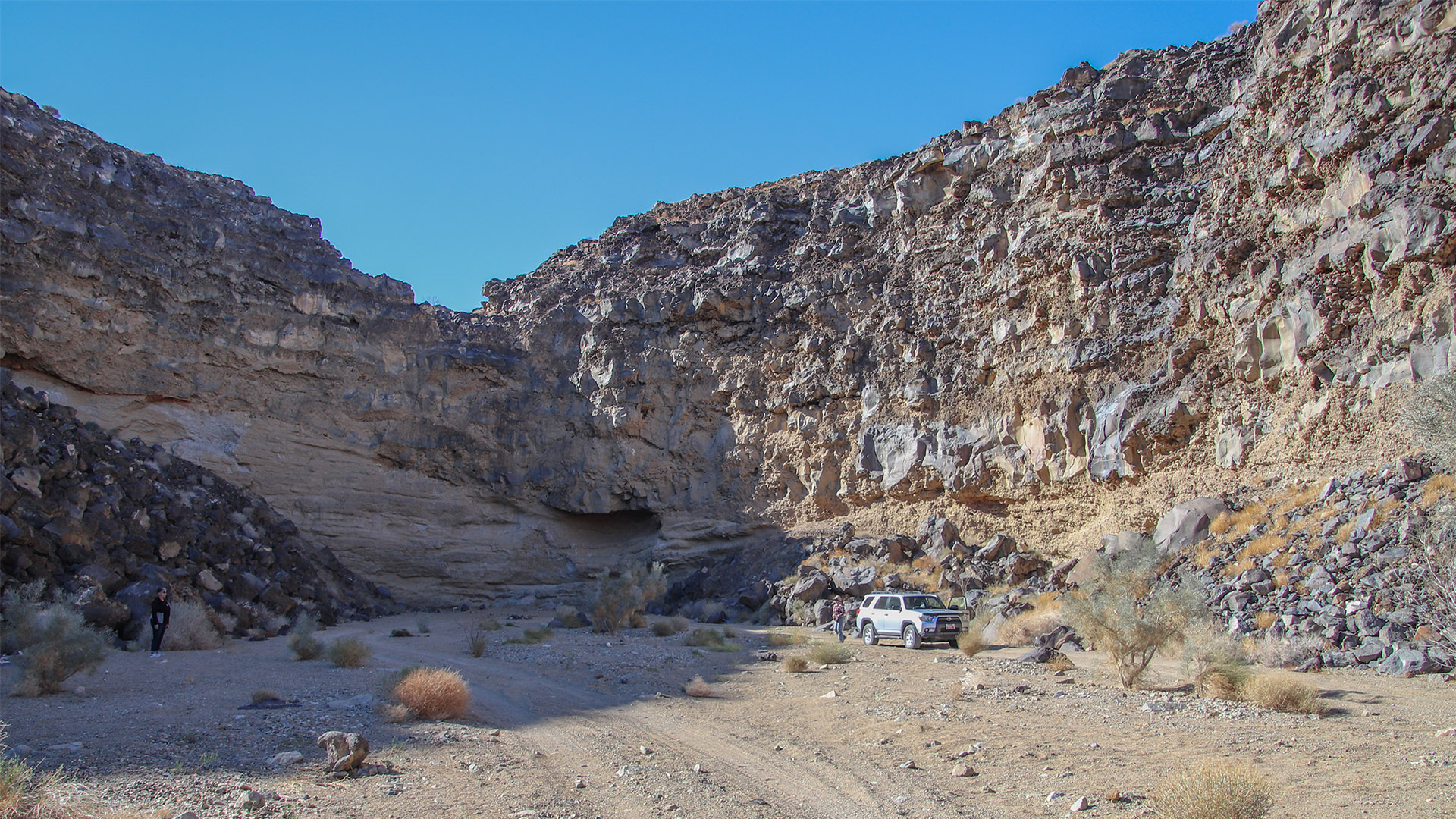
About 5.5 miles from Route 66 (or 7 miles using the gas line road), there is a junction of roads. This is where Troy Road intersects with the gas line road. Another road heads left up into a dead-end canyon carved out of the basalt flow. The canyon is about a half mile long and ends at a very high dry waterfall coming from the top of the basalt flow. There are a few ideal camping spots and fire rings located here.
Continue the trip by continuing on Troy Road located in the drainage. It will slowly climb out of the drainage on the south (left) side. In a short distance, look for a road leading to the left that connects onto the straight gas line road.
After about 7 miles from Route 66 using Troy Road, keep an eye out for foundations found across the drainage on the other side of the canyon. This marks the location of Kane Spring. The foundations were a spring that was used by ranchers. It was also the site of a uranium mine that was actually a sham in the 1950s.
At 7.6 miles, look for the continuation of Troy Road on the left that heads south into and ascends a canyon. Turn here to reach Camp Rock Road. If the road is too rough, continue on the gas line road until reaching Camp Rock Road, which will be the next major dirt road intersecting the gas line road.
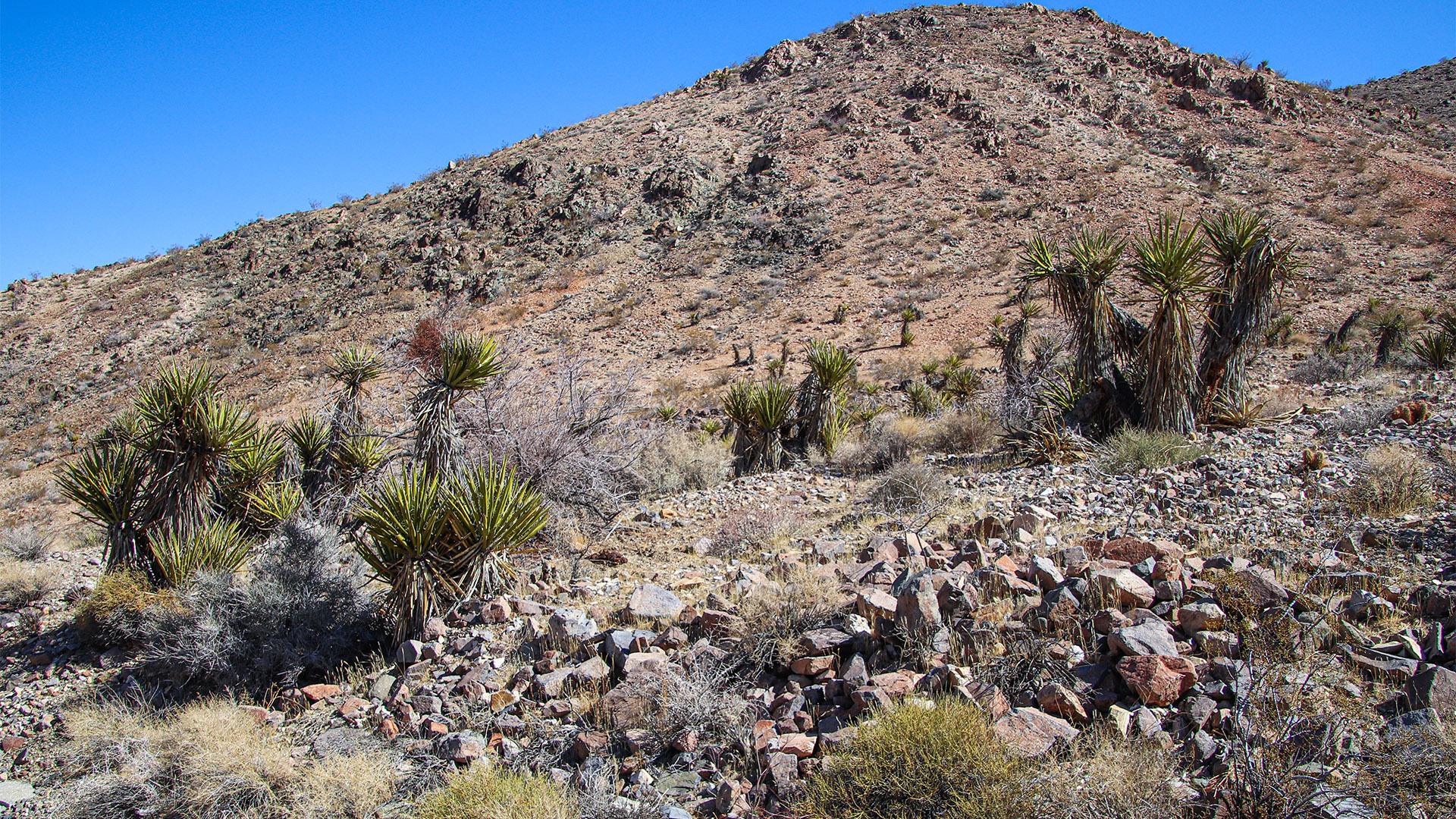
Now on Troy Road heading south up the canyon, more typical and varied plants will be found here, such as Mojave yucca and various barrel cacti. Two roads will be found that lead off to the left from Troy Road. These roads end at old mining ruins.
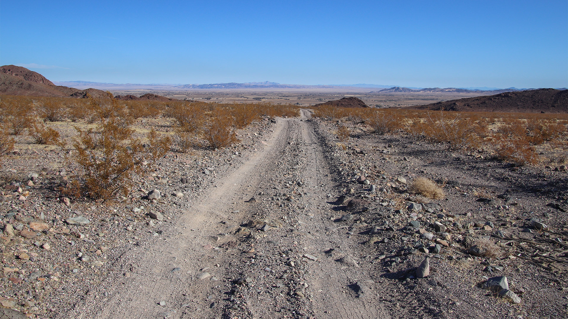
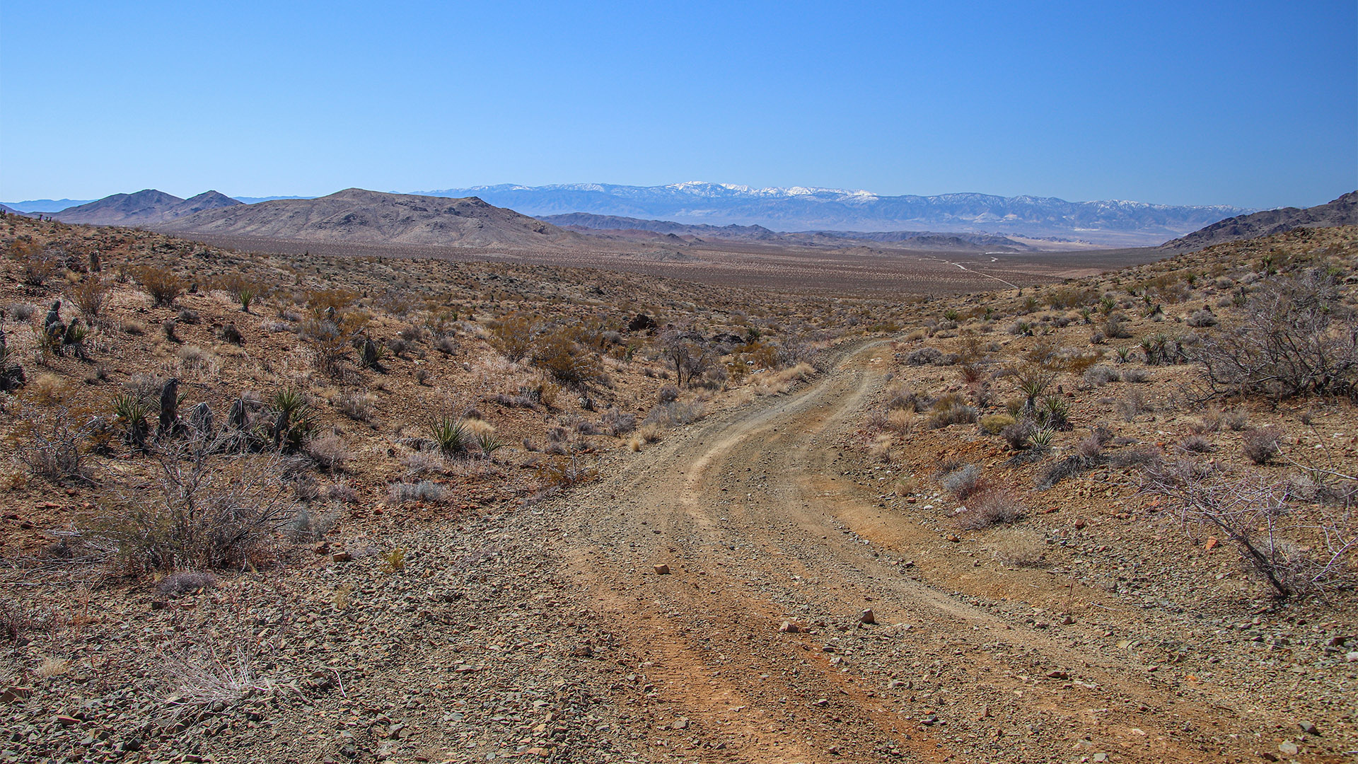
At about 3 miles from the gas line road, a summit is reached and a panorama of Lucerne Valley to the south will be seen, with the high San Bernardino Mountains in the background. At this point, the road exits the canyon and descends a shallow-sloped alluvial plane to the south.
Camp Rock Road
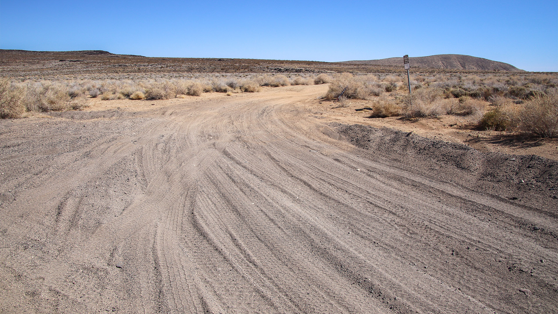
At 4.7 miles from the gas line road, Troy Road intersects Camp Rock Road. Our tour turns left (east) at this intersection and the road is named Pipkin Cinder Cone Road on many maps. We will return to this intersection later and take Camp Rock Road (the right turn) back to I-40. Continuing straight on Troy Road will lead into Lucerne Valley on the southern section of Camp Rock Road.
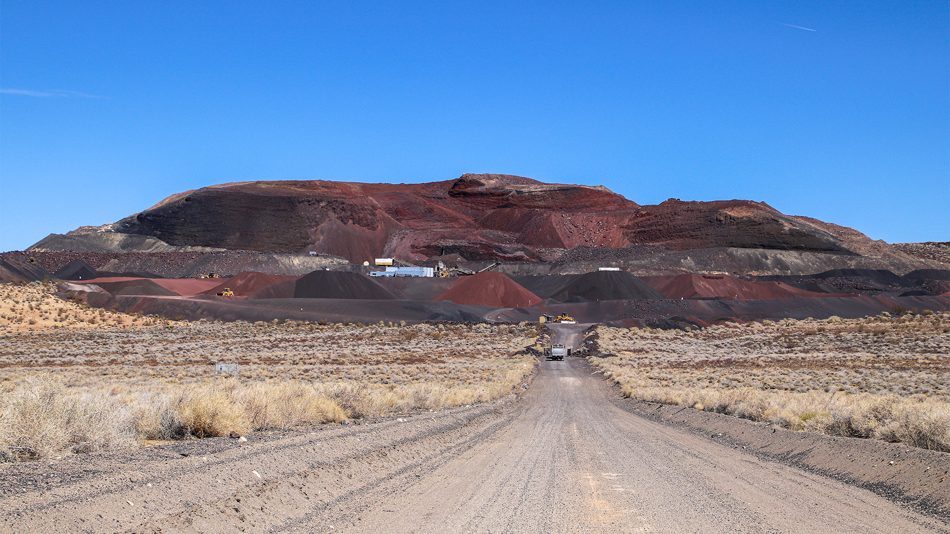
Now on Pipkin Cinder Cone Road, in a mile, our road joins a much wider and well-maintained road that leads east and uphill. This well-maintained road is a mining haul road. When traveling this road, watch out for large trucks that haul cinder from a mine in Milpas Crater that will be seen shortly.
Near where our route joins the haul road, a complex of mines can be spotted on the left about a half mile from the road. This is Camp Rock Mine. It is a gold mine that has been mined on and off for over fifty years. Back around 2015, we’ve visited with the mine operators who were making yet another effort to strike it rich. In 2025, there was no sign of the mine being worked.
Malpais Crater
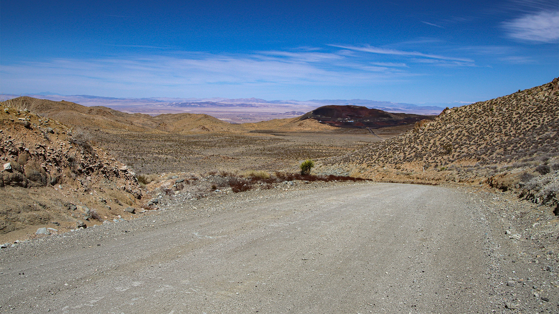
At about 4 miles of traveling on wide haul road, a fantastic view will be encountered. Milpais Crater will be seen in the foreground and, in the far background, a great view of Newberry Springs and the large expanse of desert behind it.
Milpais Crater is slowly disappearing as the Red Top Mine has been harvesting its cinder for at least 50 years and is still very active as of 2025. The cinder cone is made up of very small cinder rock that has many uses including road base and domestic landscaping. After being mined from the cinder cone, cinder is hauled to markets mainly in the Los Angeles area.
There is little information available as to when Milpais Crater erupted. It most likely last erupted somewhere between 2,000 to 50,000 years ago. Geologists speculate that this cinder cone is related to both Amboy and Pisgah Craters to the east.
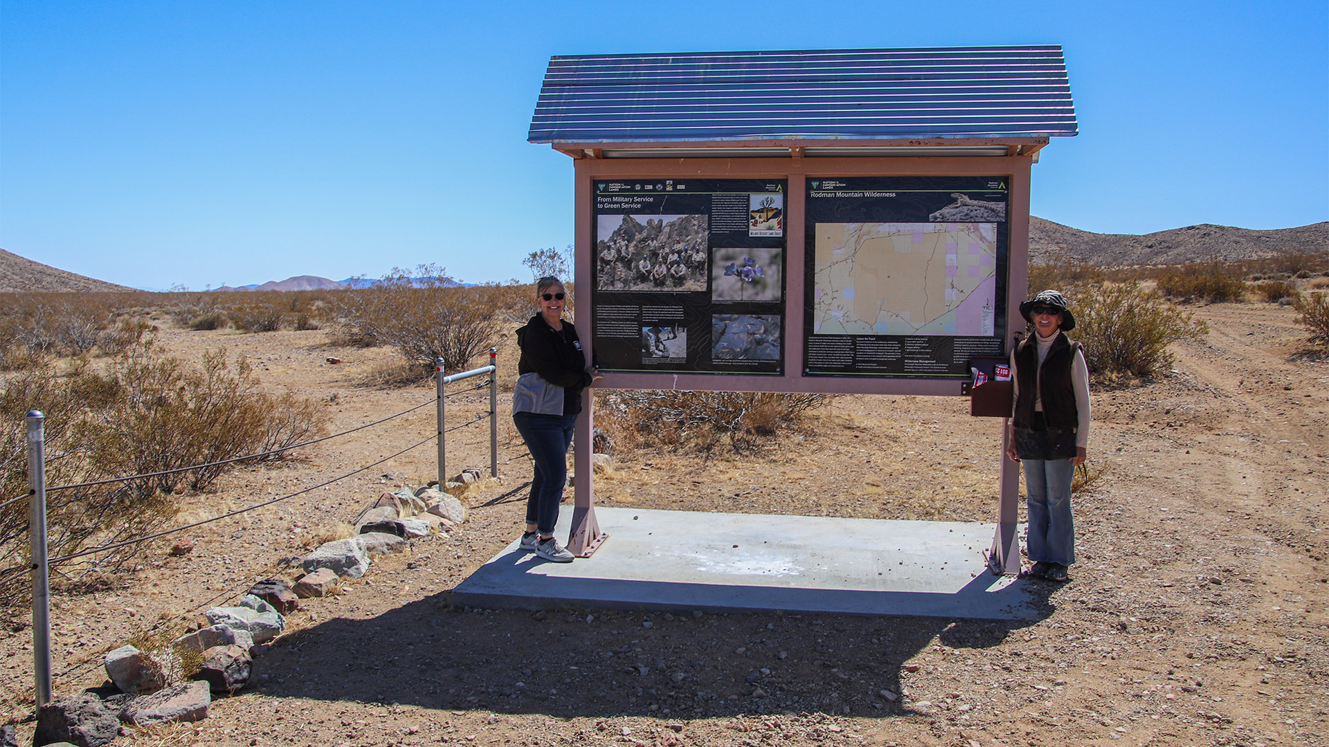
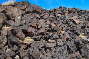
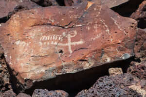
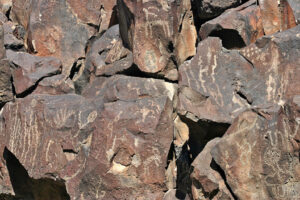
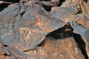
Just before reaching the gated entrance to the Red Top Mine, a road leads off to the right (east). Turn here. This road will become rough in places as it passes through various basalt flows. You may spot petroglyphs on the left that have been carved into the basalt rock. A sign/kiosk is passed that explains details about the Rodman Mountain Wilderness.
Surprise Tank Petroglyph Site
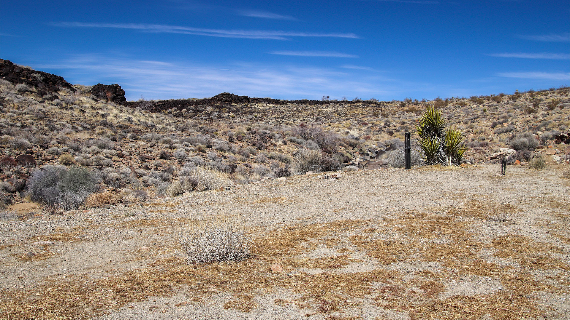
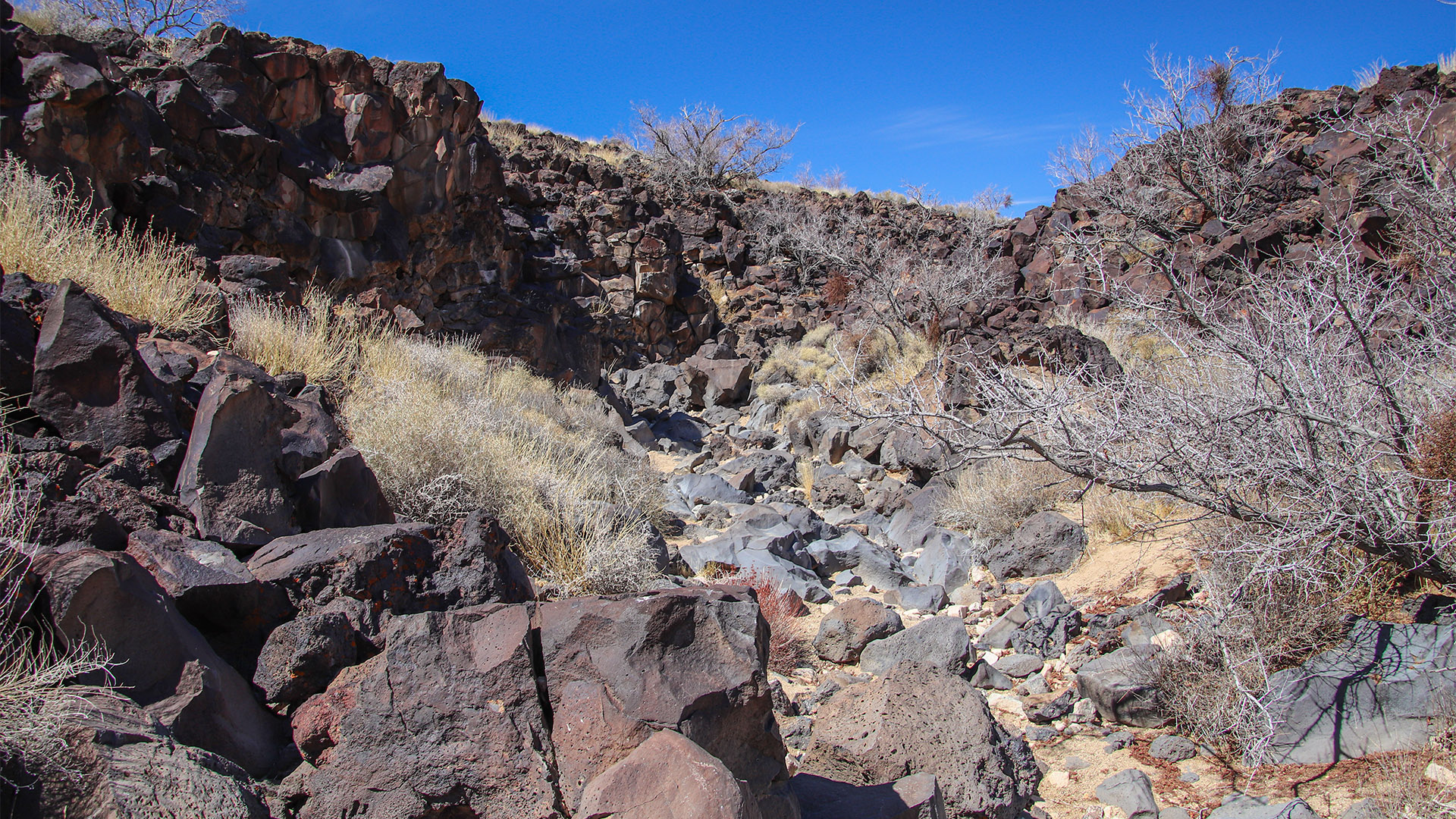
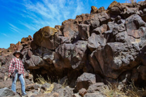
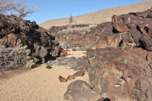
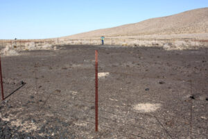
Two miles after turning off the haul road and passing through a few rough spots, a fence on the left marks the trailhead to the Surprise Tank petroglyph site. Look for an opening in the fence to walk through. Look for a hiking trail that roughly follows the drainage leading out of a small, shallow canyon to the north. The canyon is all composed of black basalt rock making it easy to find.
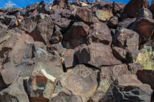
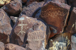
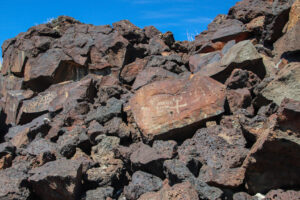
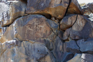
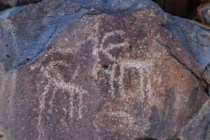
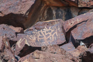
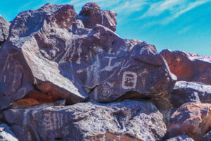
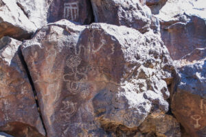
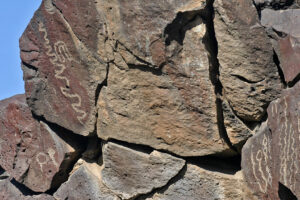
When entering the canyon about a half mile from the trailhead, rock art will be seen on both sides. When walking through the small canyon, several easy rock scrambles may be required. Continue walking into the canyon and look at both sides of the canyon. Petroglyphs will be spotted all over the black rock.
There isn’t much evidence that indicates when this rock art was drawn or by who. Archeologists that have studied Native American people of Southern California surmise that either the Desert Serrano or Desert Archaic cultures drew them. Just like all other rock art found throughout the Southwestern USA, their meaning is mostly unknown with only a few possible guesses.
One can continue hiking all the way through the canyon and climb out. After climbing out, an old road can be found that makes for an additional hike heading north from the canyon. A fence will be found that closes off an area where Native American fire rings were found. It’s also possible that there are geoglyphs or intaglios (art that can only be seen from the air) located inside the fenced area.
Following the road to the south for about two miles will lead to another rock art site. We haven’t visited this site, so we have no information to share. We’ve hiked through this area and it offers a great view of Newberry Springs to the north as well as experiencing the unique landscapes that ancient lava flows offer.
Picture Gallery of Rock Art
(click picture to view)
Camp Rock Road to Daggett
When you are finished visiting Surprise Tank Petroglyphs, head west and return to the haul road using the same road used to access the trailhead. When the haul road (Pipkin Cinder Cone Road) is reached, turn left and reset your vehicle’s trip meter.
In 5.1 miles, look for the smaller road that leads to the right. Once found, turn on this road that turns into Camp Rock Road that leads to Daggett. The intersection with Troy Road is passed in a mile.
Continue heading northwest on Camp Rock Road. The road will pass through a long and wide valley for about 8 miles. Don’t be surprised to find cattle grazing here. A sign/kiosk will be passed containing details about the Newberry Mountain Wilderness.
After about 9 miles, the road will descend into a canyon with increased desert vegetation as seen along Troy Road. At about 14 miles, the large desert valley that Newberry Springs sits in will come into view. Here, a nice sweeping panorama can be enjoyed that includes Daggett, Calico Mountains and western Newberry Springs.
At about 18 miles, the road is blocked by I-40 and turns left. In a short distance, I-40’s intersection with Daggett-Yermo Road is reached. Either use I-40 or Route 66 (see the Daggett chapter) to return to Newberry Springs to complete the loop.
This is that sweeping panorama from Daggett to Newberry Springs mentioned above:
