Pyramid Canyon
This hike takes you through dramatic Pyramid Canyon with its tall, deeply etched walls, and ends with the unique geology of Ash Cove. This relatively easy hike is also easy to get to and is a must for photographers and nature lovers alike. All but the very end of this hike is done in a wash with a steady, gradual incline and any class of vehicle can get to the trailhead.
Trip Specs
Length
Attractions
- Tall & deeply eroded canyon walls
- Oddly shaped mountains
- Colorful landscapes at Ash Cove
- Desert wash scenery
Difficulty
- Remote area, rarely visited
- Seasonal water crossing
- No phone service
Elevation Gain
Located in Afton Canyon, this hike makes a great addition to the Afton Canyon Road Trip but it is also a wonderful day trip all on its own. Get an early start if you plan on taking this hike with the Road Trip because there is a lot to see.
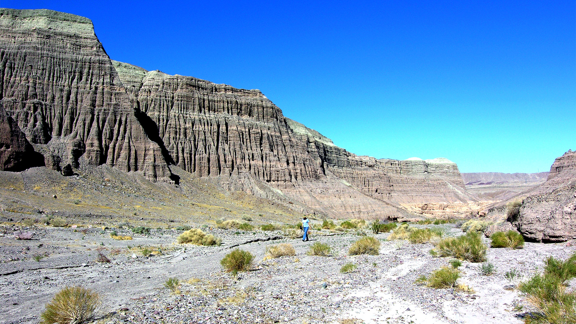
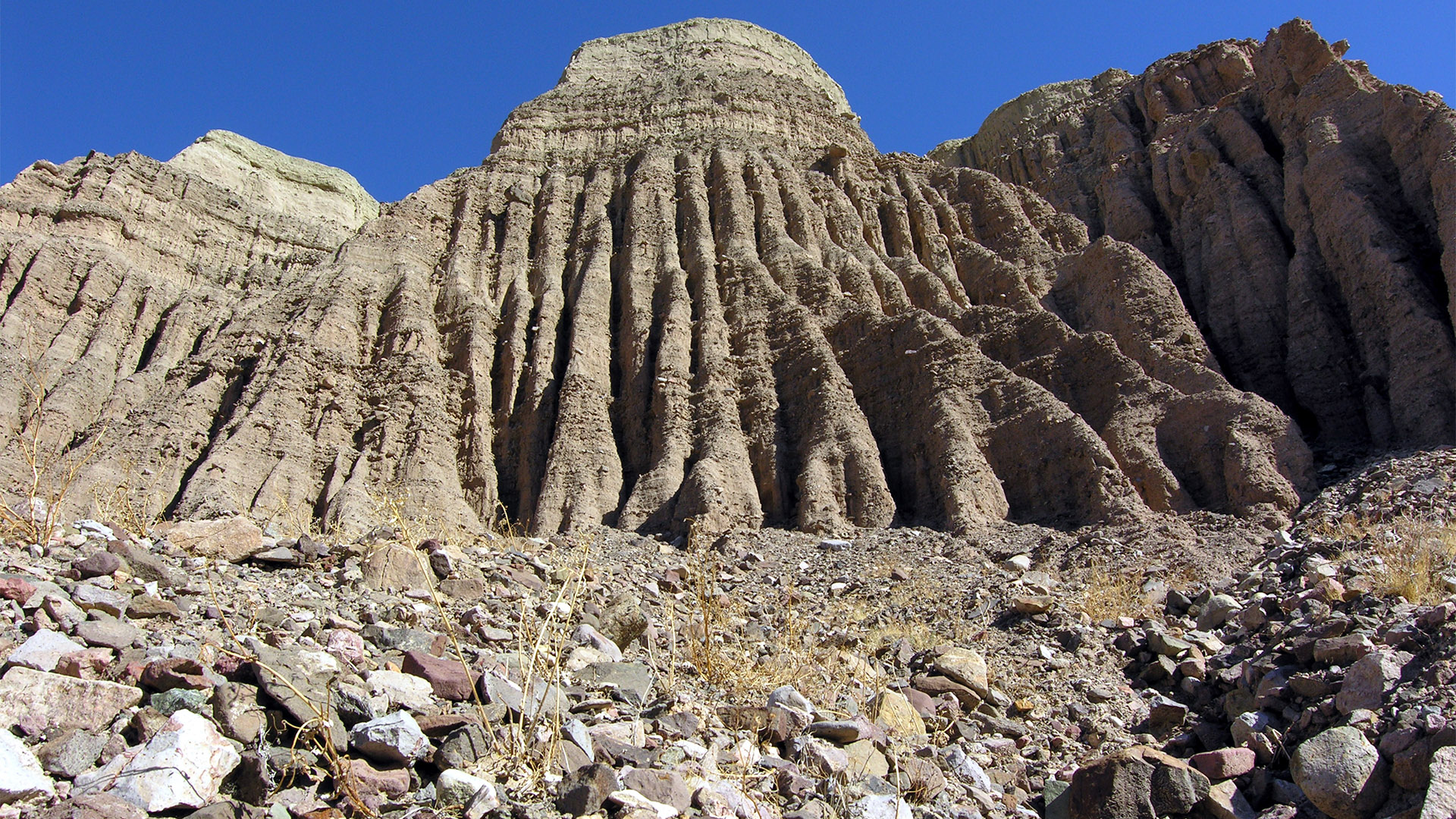
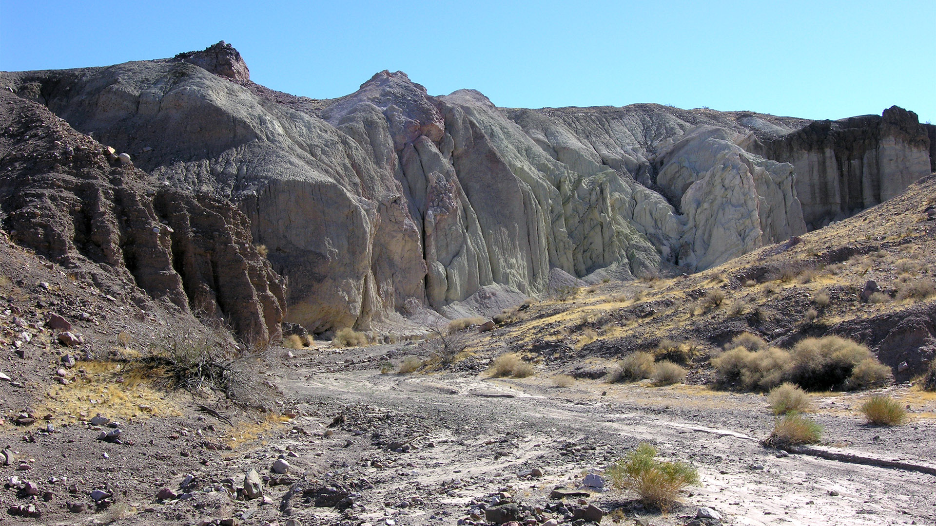
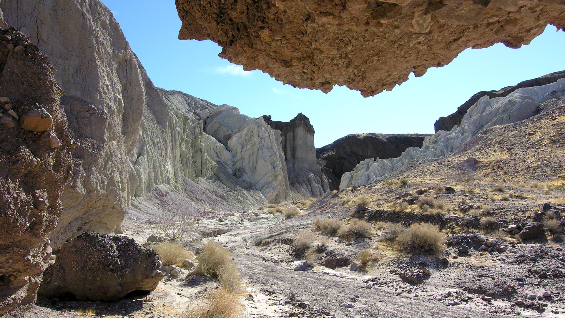
For the first half of the hike, you are surrounded by tall canyon walls that have been etched by erosion into vertical pillars and columns and other odd shapes. This section alone could keep a photographer busy for an entire day but, if you continue to the end of the hike, there is the reward of Ash Cove. This small area is geologically very different than the rest of Pyramid Canyon and is well worth the extra distance.
So, grab your water and your cameras and enjoy the spectacular scenery!
Getting There
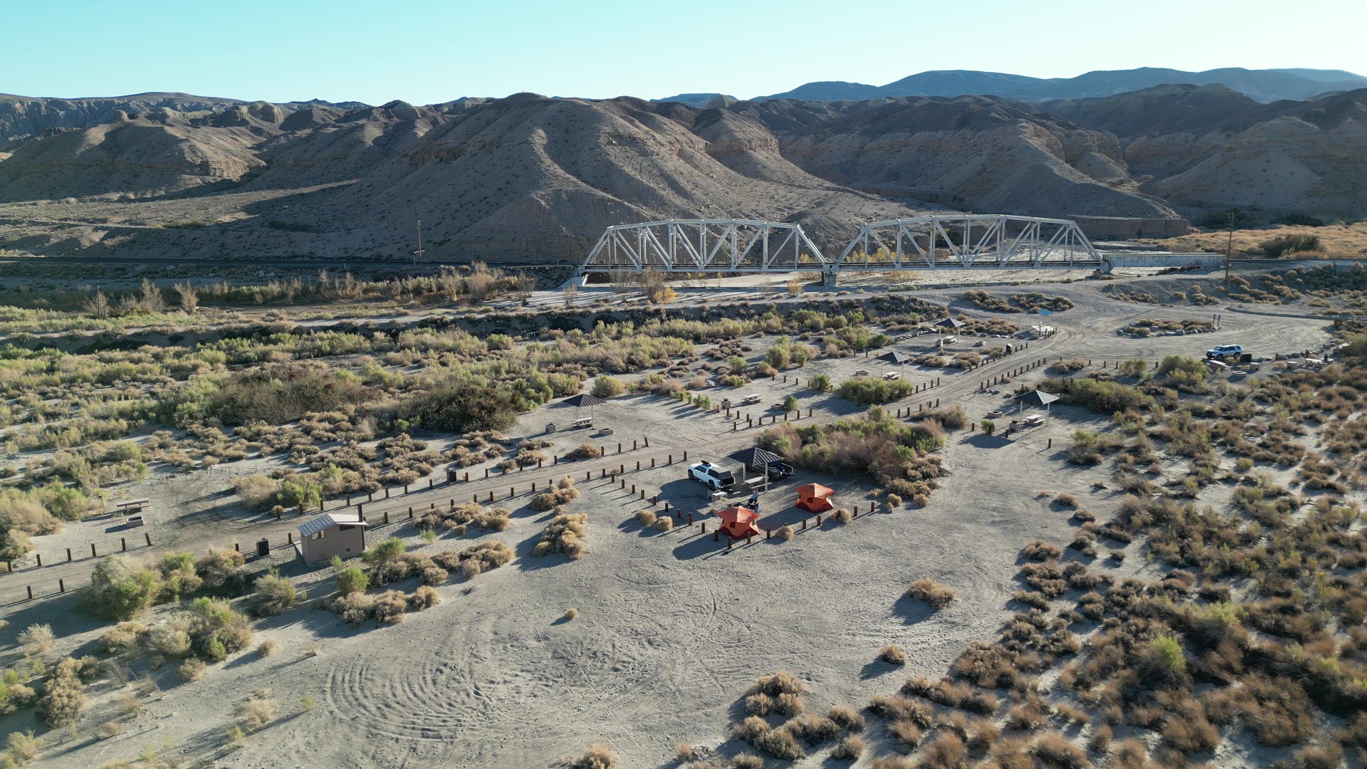
Getting to the trailhead for this hike can be done by any class of vehicle, however, you will need both high-clearance and 4WD if you plan to go any further or take the entire Afton Canyon Road Trip. The hike into Pyramid Canyon starts from the Afton Canyon campground where you will park your vehicle.
Restrooms are located in the Afton Canyon campground.
The Hike
Although Ash Cove, with its very interesting geology, is the goal of this hike, there is also some very nice geologic scenery within the first half of the canyon. So, if you don’t have the time or energy to do the whole hike, there is some beautiful scenery to see right away as well as a reward at the end. Most of the hike is easy walking as you gradually go up-canyon.
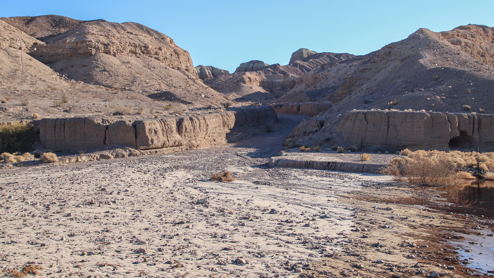
From the campground, start the hike by walking towards the steel bridge and as you walk under it, look for a good (dry) place to cross the Mojave River. The entrance to Pyramid Canyon is located to your right and is the first large canyon heading south.
At the mouth of the canyon, turn left and start hiking up the canyon wash. There is no official trail so just follow the main wash and it will lead you to Ash Cove. The first half of the hike takes you past canyon walls that have been deeply etched by erosion. Look closely at the walls and you’ll see layers of mud flows with different sized rocks stacked up on top of each other. It is likely that these mud flows were originally deposited here by floods of different intensity. Larger rocks and a thicker layer indicate a more powerful flood.
These ancient mud flows, although hardened over time, are sedimentary layers which are relatively soft and erode easily. With each rainstorm, the grooves get bigger and bigger as more and more material is washed away. This is the process that has created the deep, vertical channels seen on the sides of the canyon and surrounding hillsides.
After about 1.0 miles (1.6 km) of hiking, the tall, eroded sides of the canyon abruptly end and the canyon begins to widen considerably. The surrounding hillsides change from being steep to being lower and rounded. This section of the hike is less dramatic than the first half but continue hiking and in about 0.6 miles (1 km) you’ll be able to see the distinctive white and black hills of Ash Cove in the distance.
The canyon begins to narrow again and, as you approach Ash Cove, you are almost at the end of the hike. Ash Cove is the edge of an ancient lava flow and the white material found here is most likely ash from the leading edge of that flow. This ash material was very fine and light and was super-heated at the time it came to rest here. All of these factors helped to produce the odd shapes you see today. The more traditional, dark basalt rock associated with a lava flow is located behind (south) of this ash deposit.
As you look around here, notice that on the highest sections of the canyon walls, there is a brown layer on top of the ash layer. This brown, mud flow layer was obviously deposited after the ash layer.
The hike continues through Ash Cove for about 0.3 miles (0.5 km) and makes a 90° right turn to the west. On the left (now south) side of the canyon, at the edge of the darker (old lava) material, is a dry waterfall. Based on the size of the wash at the bottom of this waterfall, this seems to be the main drainage for Pyramid Canyon.
Rather than trying to climb this dry waterfall and continue following the main drainage, remain in the wash as it goes straight (west) and follow it into another, lesser canyon that drains into Pyramid Canyon. The floor of this narrow canyon is very rocky and, after a short distance, some minor rock scrambling is required. Once past this obstacle, it is another 200 feet (61 m) or so before you are at the dry waterfall where we stopped and turned around.
