Sunrise Canyon Hike
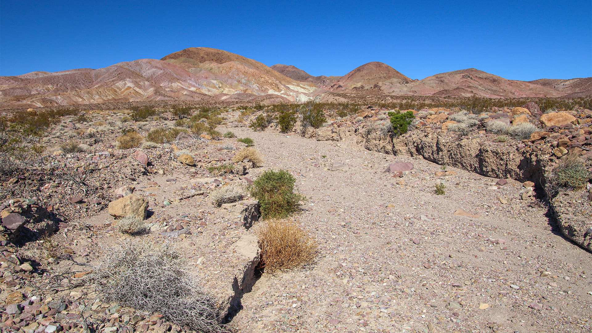
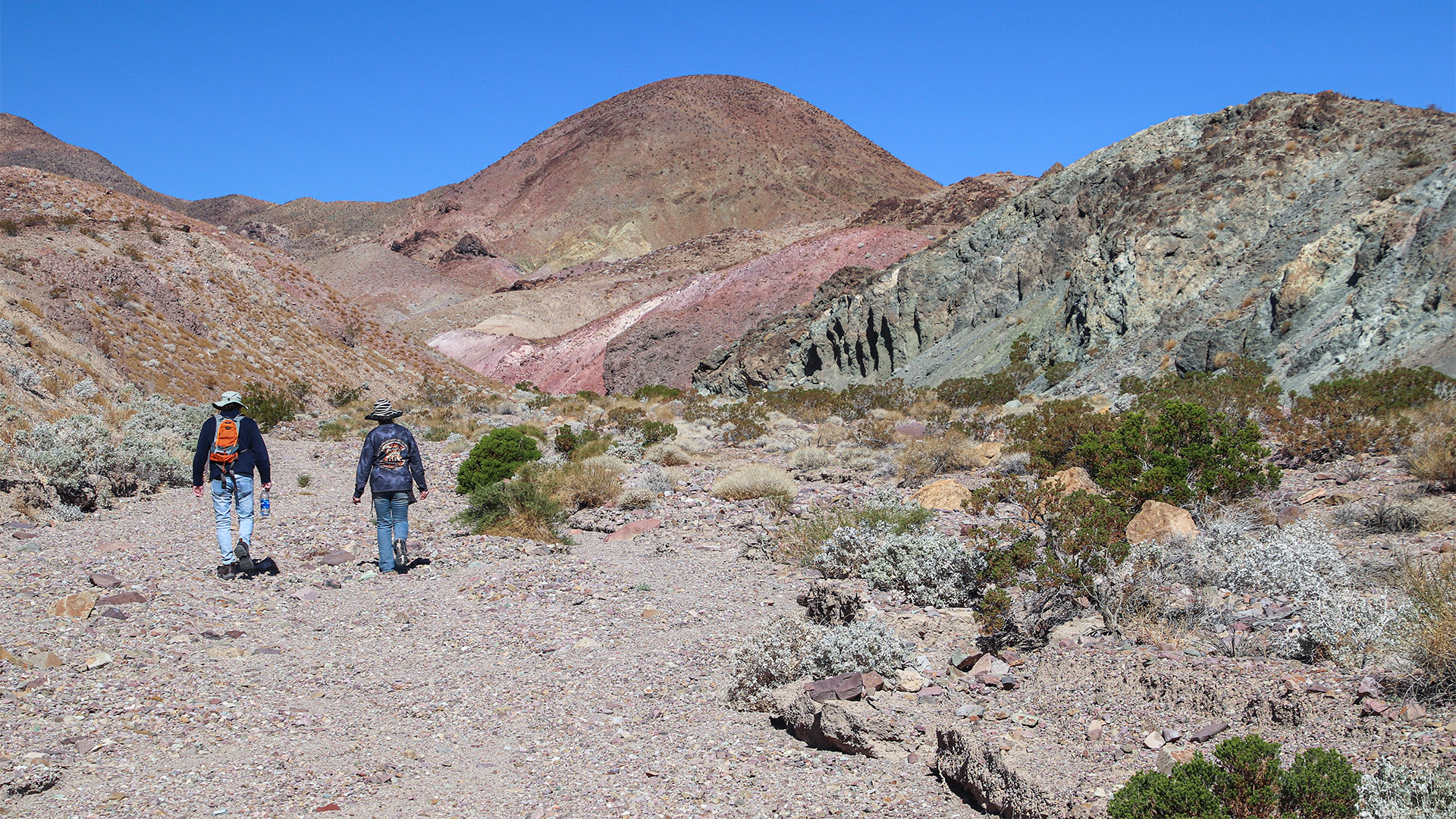
Sunrise Canyon is a significant canyon and drainage on the southeast side of the Calico Mountains facing the I-15 freeway. It makes for a nice and easy hike into a remote and colorful desert canyon. There is no hiking trail. One can simply walk up the drainage (wash) into the canyon and then turn around and go back. If one hikes all the way into the upper reaches of the canyon, the total distance hiked can be 2-4 miles (about 3.2-6.4 km) round trip.
Trip Specs
Length
Attractions
- Colorful canyon
- Desert scenery
- Desert vegetation
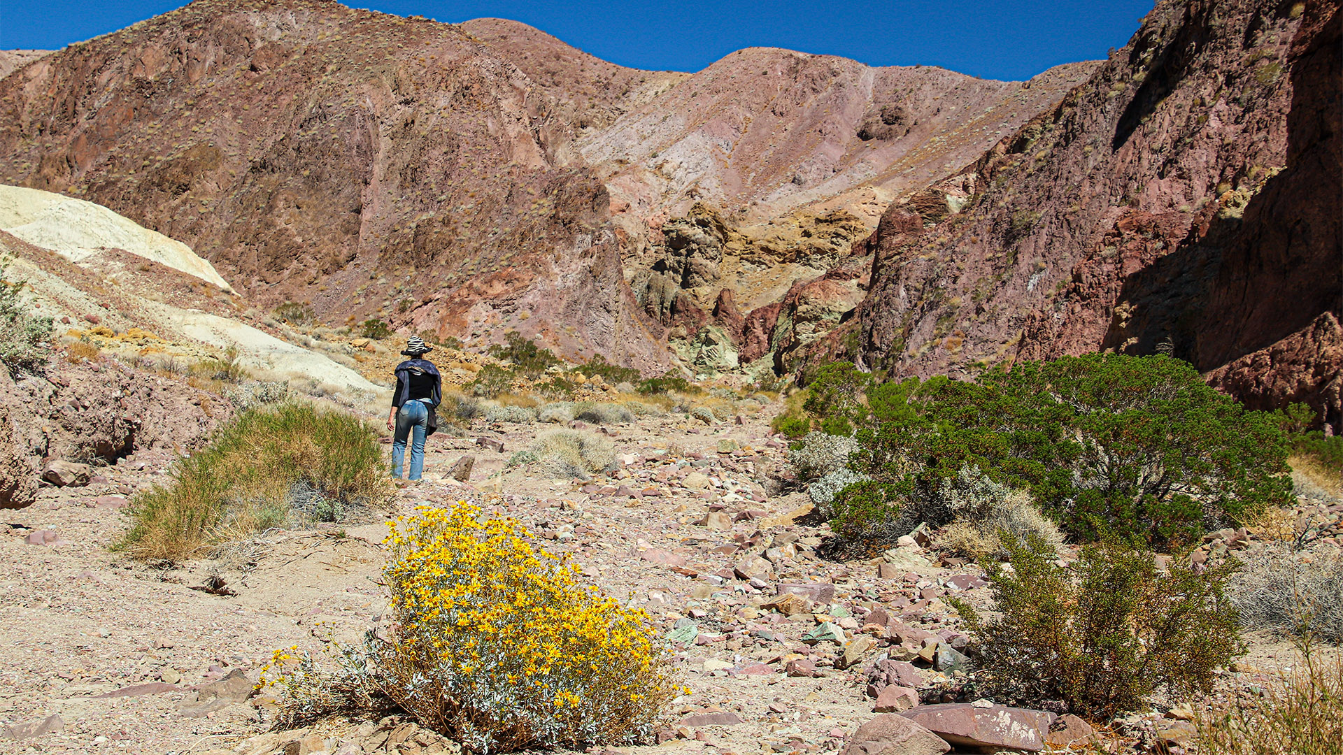
- Wildflowers in spring
- Peaceful hike
Difficulty
- Some rock scrambling
- Flashflood danger
- Remote desert area
- No trail to follow
- Very hot May thru Sept
Elevation Gain
Sunrise Canyon is near the small town of Yermo and cuts deep into the colorful Calico Mountains (hence their name). The canyon is located 15 miles (24 km) east of Barstow and 10 miles (16 km) northwest of Newberry Springs.
Getting there
Getting to Sunrise Canyon requires either a high-clearance or 4WD vehicle. Do not attempt to follow the directions below with a normal sedan vehicle. For sedans, park at the end of the pavement of Sunrise Canyon Road described below. Then, walk the 0.8-mile route described below to the beginning of the main hike.
There is no official trailhead to Sunrise Canyon. It is accessed via a north-south trending dirt road that leads away from I-15. Get to that road by taking the Minneola Road exit, number 198, from I-15. Head north away from I-15, then immediately turn left onto Sunrise Canyon Road that parallels the freeway.
Before heading up Sunrise Canyon Road, reset your trip meter. After a 0.3-mile, the road turns 90 degrees to the right and begins to climb the alluvial fan exiting Sunrise Canyon. At 0.8-mile, find a place to park your vehicle off the road just before crossing the large wash.
Pictures of Sunrise Canyon
Hike
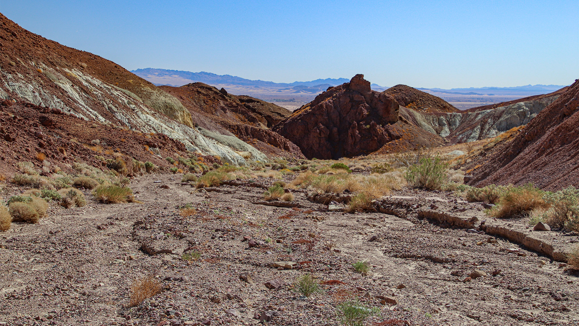
From where the road crosses the large wash, begin climbing up that wash to the northwest, which clearly heads towards a major canyon. This is Sunrise Canyon.
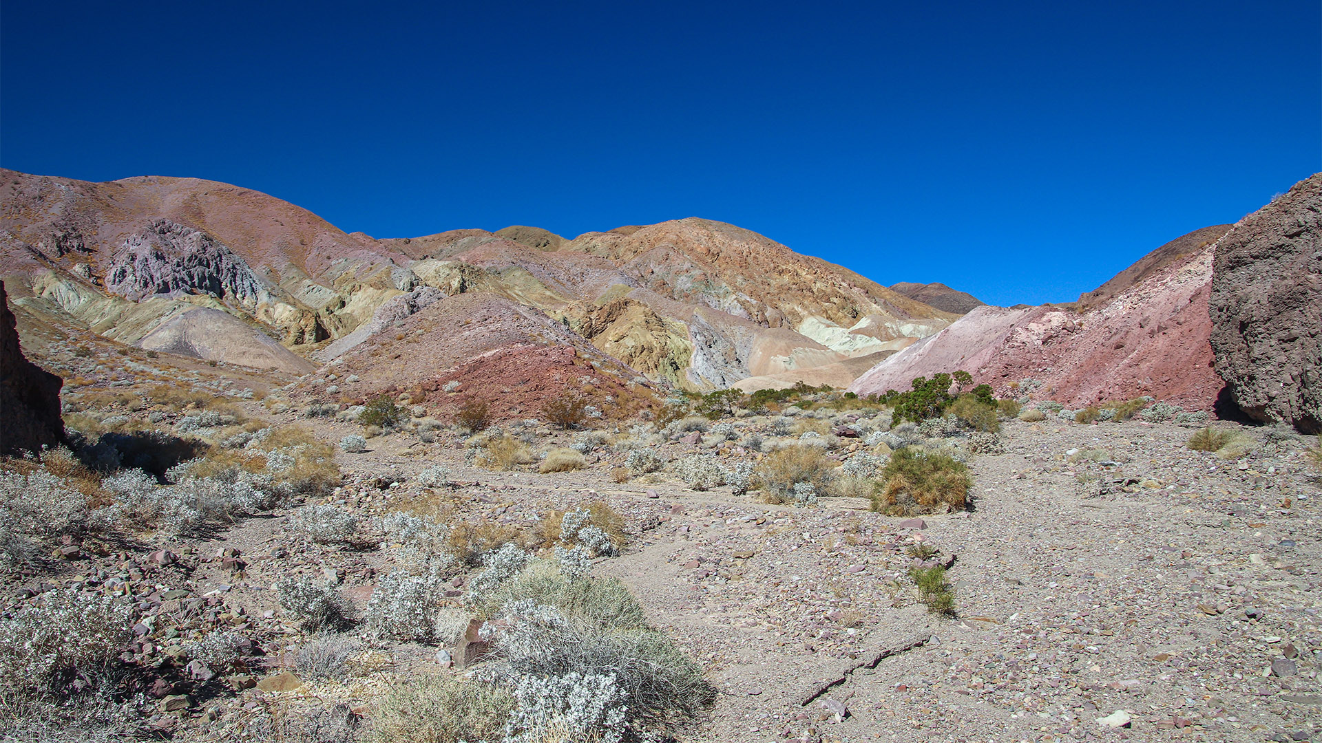
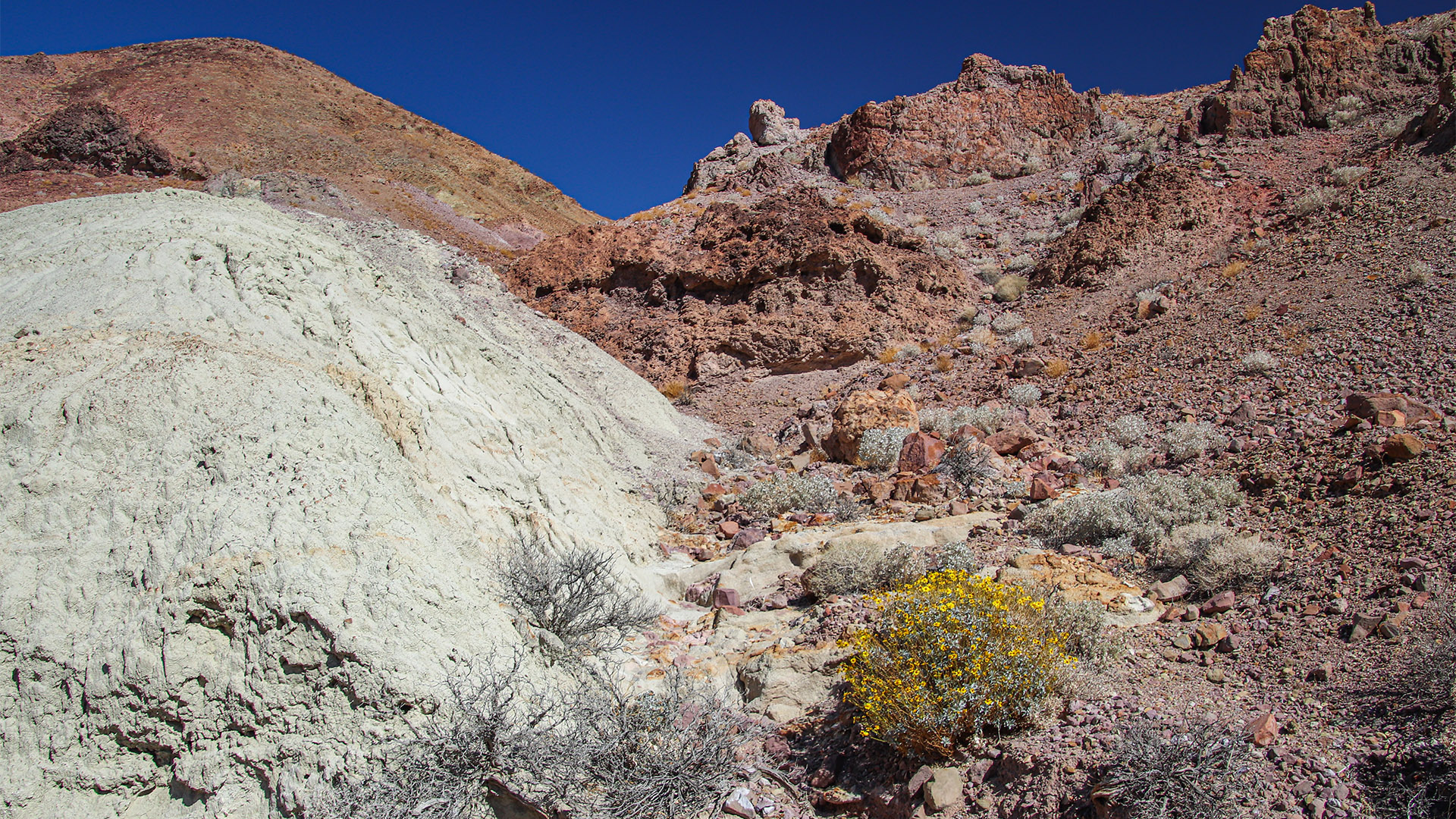
Continue walking up the wash for almost a mile where the canyon begins to narrow. The eroded hills surrounding the canyon are highly mineralized (different metals in the soil that have oxidized or rusted) making them very colorful. It’s these colors that gave the Calico Mountains their name.
The eastern half of the Calico Mountains were known for their borax deposits. There will be some faint evidence of borax mining in the canyon that occurred in the early 1900s.
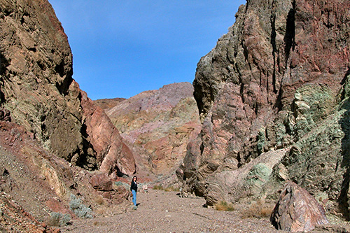
Continue walking up the wash for as long as you wish. At about 1.5 miles (2.4 km) in, the canyon turns 45 degrees to the left and heads due west. It also increasingly becomes narrower. The wide array of colors seen in the canyon continues for most of its length. When you’ve seen enough, turn around and return to your vehicle the same way you came in.
